COURSE DESCRIPTION
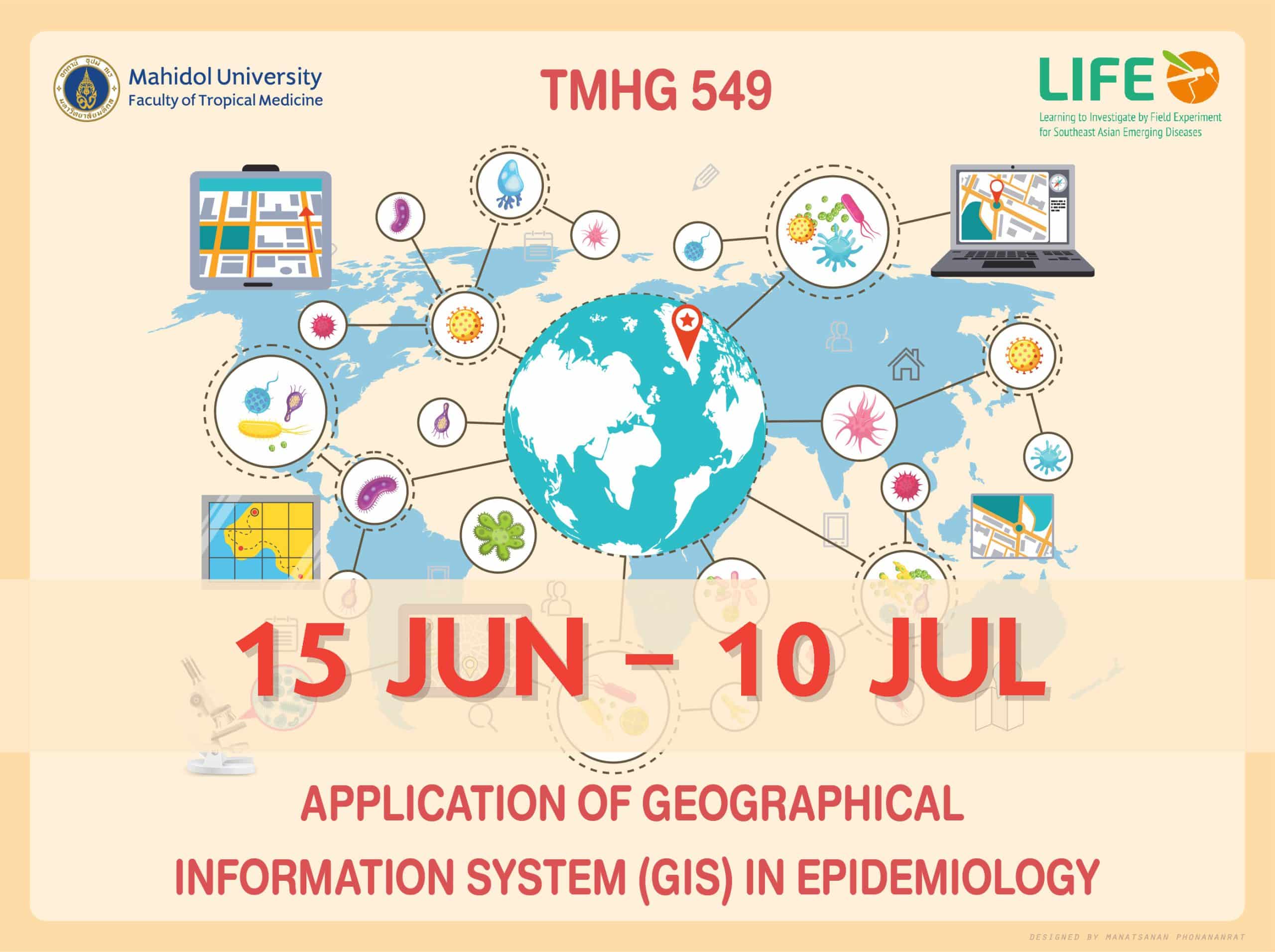
Disease mapping of tropical diseases by Geographical Information System (GIS), Remote Sensing (RS), and Global Positioning System (GPS).
Prerequisites
Graduate in Bachelor degree in Health sciences, computer sciences, and ICT
LEARNING OUTCOMES
- LO1: Describe concepts of Geographical Information system (GIS) and its application to Public health
- LO2: Identify tools in GIS that can be used to study disease distribution
- LO3: Create maps showing disease distribution using appropriate GIS program
- LO4: Select appropriate functions in GIS programs to explore factors related to spatial distribution of disease
- LO5: Interpret and present results of disease mapping in lay language
Course Features
- Lectures 21
- Quiz 1
- Duration 45 hours
- Skill level All levels
- Language English
- Students 56
- Certificate No
- Assessments Yes
- 5 Sections
- 21 Lessons
- 10 Weeks
- Week 0: Course Introduction6
- Week1: Introductory concepts of GIS6
- Week 2: GIS and applications6
- Week 3: Building GIS map layouts4
- Week 4: GIS Geoprecessing4

